Wayanad Height from Sea Level: Complete Guide to Wayanad Elevation, Climate & Hill Station Facts (2026)
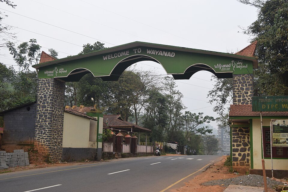
Wayanad Height from Sea Level – Wayanad is one of Kerala’s most beautiful hill districts, known for its mist-covered mountains, lush forests, tea and coffee plantations, waterfalls, and wildlife sanctuaries. Located in the Western Ghats, Wayanad attracts nature lovers, adventure seekers, and families looking for a refreshing escape from city life.
One of the most frequently searched travel-related questions is about the Wayanad height from sea level. Understanding Wayanad’s elevation helps travelers plan their trip better, especially when considering weather conditions, sightseeing opportunities, and trekking adventures.
In this comprehensive guide, you’ll learn about the height of Wayanad from sea level, major hill elevations, climate benefits, and the top attractions that make Wayanad one of South India’s most visited hill destinations.
What is the Wayanad Height from Sea Level?
SONY DSC
The average Wayanad height from sea level ranges between 700 meters and 2,100 meters (2,300 to 6,890 feet) depending on the location.
Most popular tourist areas in Wayanad are situated at an elevation of approximately 700 to 1,200 meters above sea level, which gives the region its pleasant climate throughout the year.
The district headquarters, Kalpetta, is located at an elevation of approximately:
- 780 meters above sea level
- 2,559 feet above sea level
This elevation contributes significantly to Wayanad’s cool temperatures and scenic landscapes.
Height of Wayanad from Sea Level
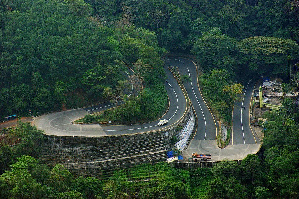
When travelers ask about the height of Wayanad from sea level, the answer varies because Wayanad is a large district consisting of valleys, plateaus, hills, forests, and mountain peaks.
Average Elevation of Wayanad
| Location | Height in Meters | Height in Feet |
|---|---|---|
| Kalpetta | 780 m | 2,559 ft |
| Sulthan Bathery | 930 m | 3,051 ft |
| Mananthavady | 950 m | 3,117 ft |
| Banasura Hills | 2,073 m | 6,801 ft |
| Chembra Peak | 2,100 m | 6,890 ft |
Therefore, the commonly accepted height of Wayanad ranges from 700 to 2,100 meters above sea level.
Wayanad Height Above Sea Level
The Wayanad height above sea level varies because the district is located within the Western Ghats mountain range.
The region’s elevation creates:
- Pleasant year-round weather
- Cooler temperatures than nearby cities
- Rich biodiversity
- Dense forests and wildlife habitats
- Spectacular viewpoints and trekking trails
This elevated terrain is one of the primary reasons Wayanad remains a favorite hill destination in South India.
Wayanad Hill Station Height
Many tourists refer to Wayanad as a hill station and search for its exact elevation.
The average Wayanad hill station height is approximately:
700–1,200 meters (2,300–3,937 feet) above sea level
Some mountain areas rise significantly higher, creating breathtaking landscapes and trekking opportunities.
Wayanad Hills Height
The impressive Wayanad hills height contributes to the district’s popularity among trekkers and nature enthusiasts.
Several notable hills and peaks dominate the region:
Chembra Peak
Chembra Peak is the highest peak in Wayanad.
- Height: 2,100 meters
- Height in feet: 6,890 feet
The peak is famous for its heart-shaped lake and panoramic views of the Western Ghats.
Banasura Hills
The Banasura Hills form one of the largest mountain ranges in Wayanad.
- Height: Approximately 2,073 meters
- Height in feet: 6,801 feet
The hills surround the popular Banasura Sagar Dam.
Brahmagiri Hills
Located near the Kerala-Karnataka border, Brahmagiri Hills attract trekkers and wildlife enthusiasts.
- Height: Approximately 1,608 meters
- Height in feet: 5,276 feet
Wayanad Hill Height and Mountain Landscape
The varied Wayanad hill height creates a unique landscape filled with valleys, waterfalls, forests, and tea plantations.
The district’s mountainous terrain supports:
- Evergreen forests
- Spice plantations
- Coffee estates
- Wildlife sanctuaries
- Adventure tourism activities
This diverse topography makes Wayanad one of Kerala’s most scenic destinations.
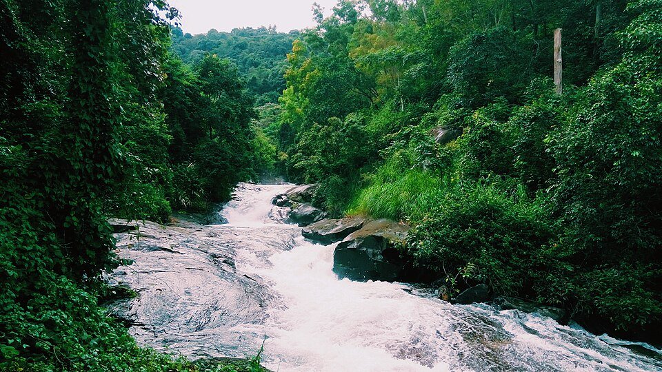
How Wayanad’s Elevation Influences Weather
The height of Wayanad above sea level directly impacts its climate.
Summer (March–May)
- Temperature: 20°C to 35°C
- Pleasant mornings and evenings
Monsoon (June–September)
- Heavy rainfall
- Lush greenery
- Waterfalls at their peak beauty
Winter (October–February)
- Temperature: 10°C to 25°C
- Ideal for sightseeing and trekking
The elevated location keeps Wayanad significantly cooler than many coastal regions of Kerala.
Top 10 Places to Visit in Wayanad
Processed with VSCO with c1 preset
1. Chembra Peak
The highest mountain in Wayanad and a favorite trekking destination.
2. Banasura Sagar Dam
India’s largest earthen dam surrounded by beautiful hills.
3. Edakkal Caves
Ancient caves featuring prehistoric carvings and inscriptions.
4. Soochipara Falls
A stunning three-tier waterfall located amid dense forests.
5. Pookode Lake
A scenic freshwater lake ideal for boating and family outings.
6. Wayanad Wildlife Sanctuary
Home to elephants, deer, leopards, and numerous bird species.
7. Kuruvadweep
A protected river island known for biodiversity and eco-tourism.
8. Thirunelli Temple
An ancient temple located amidst the Brahmagiri Hills.
9. Meenmutty Falls
One of the largest waterfalls in Kerala.
10. Karlad Lake
A growing adventure tourism destination offering kayaking and ziplining.
Why Wayanad’s Elevation Makes It Special
The unique Wayanad height from sea level provides several advantages:
Pleasant Climate
Cool temperatures throughout the year.
Scenic Landscapes
Mountain views, valleys, and mist-covered hills.
Adventure Activities
Excellent trekking, camping, and wildlife exploration opportunities.
Rich Biodiversity
Part of the globally significant Western Ghats ecosystem.
Agriculture and Plantations
Ideal conditions for coffee, tea, pepper, and spice cultivation.
Frequently Asked Questions (FAQs)
1. What is the Wayanad height from sea level?
The average Wayanad height from sea level ranges between 700 and 2,100 meters depending on the location.
2. What is the height of Wayanad above sea level in feet?
Wayanad’s elevation ranges from approximately 2,300 feet to 6,890 feet above sea level.
3. Which is the highest peak in Wayanad?
Chembra Peak is the highest peak in Wayanad at approximately 2,100 meters (6,890 feet).
4. Does Wayanad’s elevation affect its weather?
Yes. The Wayanad height above sea level helps maintain cooler temperatures and pleasant weather throughout most of the year.
5. What is the best time to visit Wayanad?
October to February is generally considered the best time to visit Wayanad for sightseeing, trekking, and outdoor activities.
Conclusion
The average Wayanad height from sea level ranges from 700 to 2,100 meters, making it one of Kerala’s most beautiful hill destinations. The height of Wayanad from sea level, combined with its forests, waterfalls, and mountain ranges, creates an ideal environment for tourism, trekking, and nature exploration.
Whether you’re interested in the Wayanad hill station height, exploring the region’s mountain peaks, or simply enjoying its pleasant climate, Wayanad offers a memorable experience throughout the year. Its elevation, biodiversity, and natural beauty continue to make it one of the top travel destinations in South India.
Coorg Height from Sea Level: Complete Guide to Coorg Elevation, Climate & Top Attractions (2026)